snowmobiletrails.com
Northern Minnesota Snowmobiling
Grand Portage Maps and Trail Information

Grand Portage Snowmobile Map

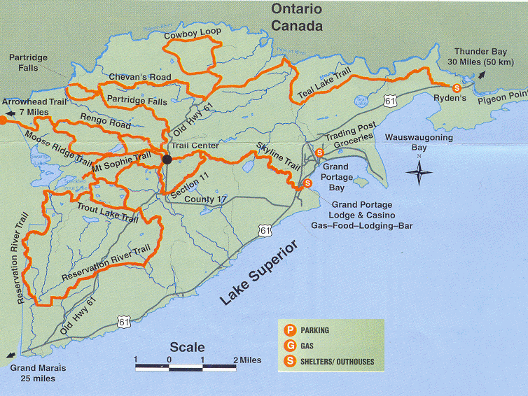
There are two maps available for the Grand Portage Snowmobile Trail system.

One is the same one as above and the other has the connection from the Gunflint Snowmobile Trail System. Go to Grand Portage Maps.

Maps are available to download below or are available at most SuperAmerica, Holiday Station Stores, and Info Centers. You may also request a Cook County/Grand Portage Trail Map from the Grand Marais Visitor Center, if you have enough time for it to be Postal Mailed. <Click here>

PARKING SUGGESTION: The best place to park is at the trailhead at Mineral Center/Trail Center [ black dot on map ] or at the Lodge/Casino. Take Hwy 61 through Grand Marais 30 miles to County Road 17 to trailhead, or 31 miles from Grand Marais to Lodge/Casino.

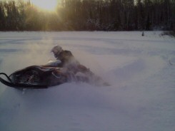
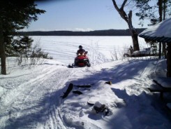
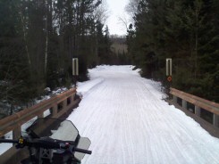
Images of trails from late March and April 02, 2006.


Looking west at Trout and Swamp Lakes from
top of Grand Portage Mt Sophie Fire Tower
© all images snowmobiletrails.com


North Shore State Snowmobile Trail
From Duluth to Grand Marais, Minnesota the 153 mile long North Shore State Snowmobile Trail system traverses St. Louis, Lake and Cook Counties of northeastern Minnesota, along the vistas overlooking Lake Superior. The trail system winds its way through forests and nearby Lake Superior scenic overlooks.

More Local North Shore Snowmobile Trails

Duluth Cross Town Trail - West Section 33 miles West area of Duluth, Minnesota

Duluth Cross Town Trail - East Section 12 miles East area of Duluth, Minnesota

Taft Trail North out of Duluth, Minnesota

Pequaywan Lake Trail 10 miles North out of Duluth, Minnesota

Two Harbors Corridor Trail 9.6 miles East end of Two Harbors, Minnesota

Gooseberry State Park Trail 3-9 miles Located at Hwy 61 and Gooseberry River/State Park

Red Dot Trail 15 miles East end of Beaver Bay, Minnesota

Tettegouche Trail 10 miles and Sawtooth Trail 15 miles East of Silver Bay, Minnesota

Moose Walk Trail 15 miles North of Silver Bay, Minnesota

Tomahawk Trail 86 miles North of Little Marais, Minnesota

Lutsen Trail System 67 miles Between Tofte, Minnesota and Cascade River State Park

The X Trail North of Cascade River State Park and leads to the Gunflint Trail System

s n o w m o b i l e t r a i l s . c o m
Snowmobiling Destinations and Trail Information

Home | Trail Reports | Snowmobile Trails | Snowmobile Trail Maps | Snowmobile Rentals
Groomer Schedule | Lodging | Where To Eat | Add Your Business or Trail | Code of Ethics | Emergency Contacts
NEWS FLASH |  Water Cross | Snowmobile Clubs | More Winter Activity Ideas | Contact Us | Partners and Sponsors

More Minnesota North Shore Winter Activities


All Original Content and Coding
Copyright © 2000-2008 All Rights Reserved

By using our service you're agreeing
to our
terms of service and disclaimer.

Published from the Minnesota North Shore by Chad Jones